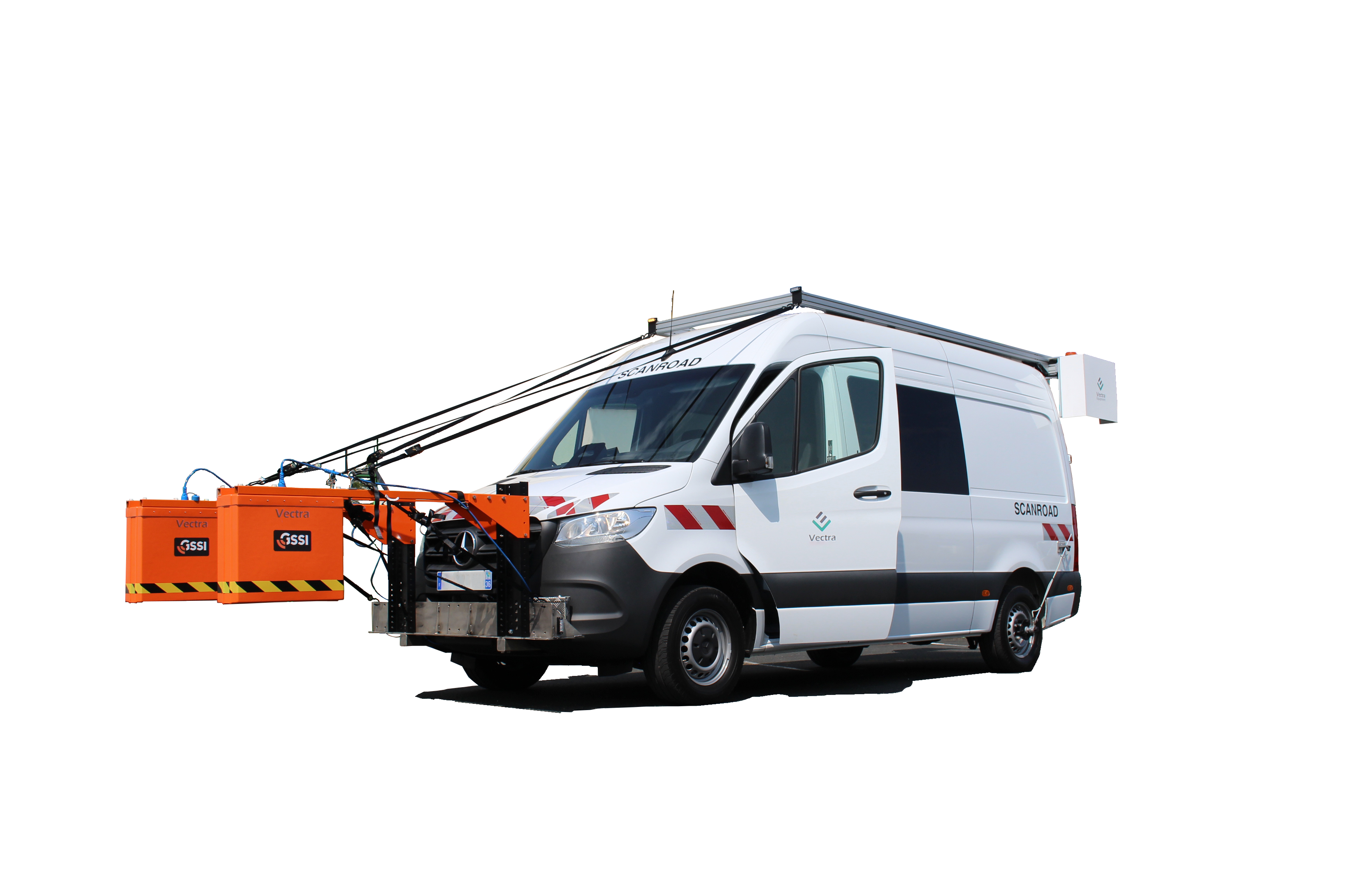
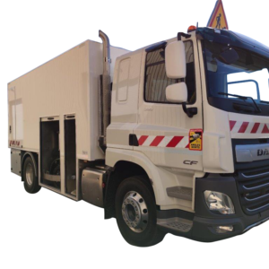
Description
A MULTIFUNCTION
We work with you to design the multifunctional condition survey equipment you need. Your multifunctional device can be equipped with:
- 360° camera (heritage + environment survey)
- GPS
- Pavement geometry sensors
- Sensors for macrotexture
- Sensors for the longitudinal profile
- Sensors for the transverse profile
- Sensors for automatic reading in images
- etc.
Based on the experience of the design of several multifunctions: AMAC®, SYMAN®, Multifunction LTPO, we will be able to offer you a made-to-measure, efficient and precise vehicle.
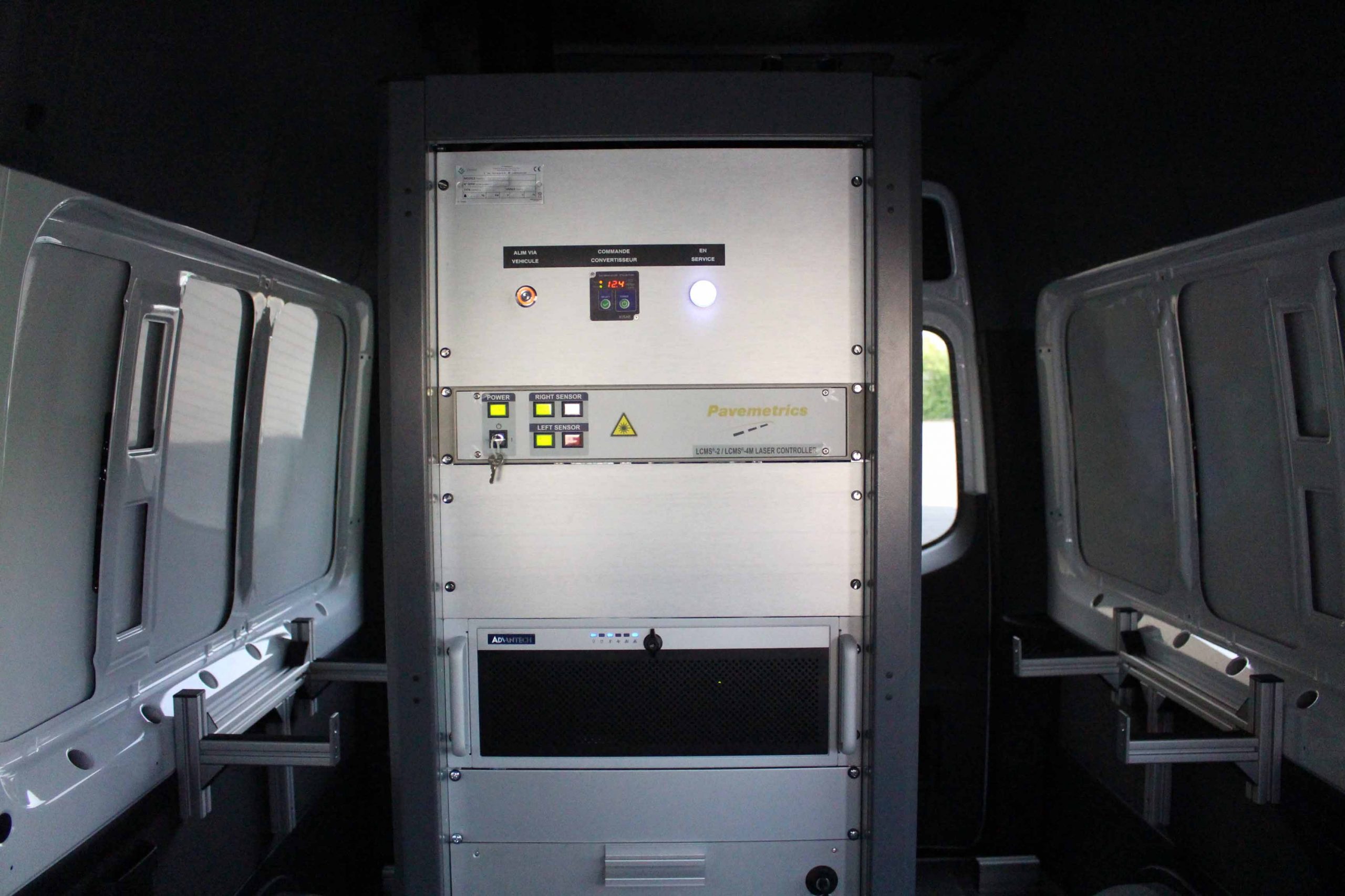
LIDAR
- 350° sensor
- 2 million points / second
- Profile spacing:
14 mm at 10km/h
70 mm at 50km/h
120mm at 90km/h
Distance measurements
- Sensor: Optical encoder, 5,000 pulses per wheel revolution
- Accuracy: ≤ 0.2%, Resolution: 0.4 mm
- Indicator: distance traveled, system synchronisation
GPS / inertial system (hybrid dual GPS positioning system coupled with an inertial unit)
- High-end positioning system
- Allows continuity of positioning in case of masking
- Possibility of differential correction in real time
- Post-processing of GPS data to improve accuracy (at least 3 days after the measurements)
- X, Y positioning accuracy between 2 m and a few cm